

Startseite » Community » Projekte » Digitalisierung von Altkarten aus Mitteldeutschland und dem Vorderen Orient
Digitalisierung von Altkarten aus Mitteldeutschland und dem Vorderen Orient
Das Projekt
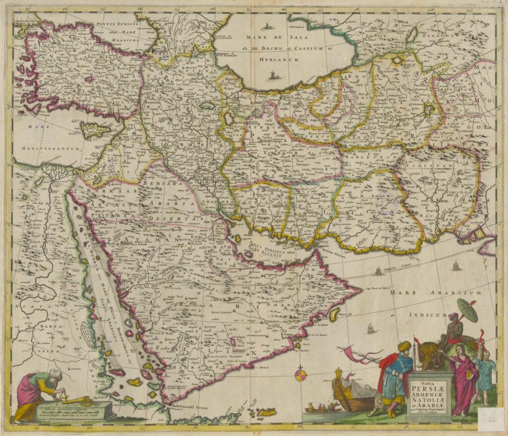
Die Universitäts- und Landesbibliothek Sachsen-Anhalt (ULB) digitalisiert herausragende Stücke ihrer Altkartensammlung. Ausgewählt wurden etwa 1.000 Karten mit regionalem Bezug zu Mitteldeutschland und aus dem Gebiet Vorderer Orient/Nordafrika. Letztere stellen wertvolle Quellen für die Fachcommunity des FID Nahost dar.
Die Karten und Atlanten werden im Open Access auf Share_it – dem Repositorium der Hochschulbibliotheken in Sachsen-Anhalt veröffentlicht (Projektbeschreibung der ULB Sachsen-Anhalt)
Das Projekt wurde im Rahmen des Förderprogramms „Neustart Kultur“ durch die Beauftragte der Bundesregierung für Kultur und Medien gefördert .
Bibliographie nach Regionen (chronologisch)
Die Einteilung der Liste erfolgt vorerst nur nach den Gebieten, die auf den historischen Karten genannt oder gezeigt werden. Dadurch bleiben heute existierende Länder und Regionen teilweise ungenannt. Sie werden teilweise unter Großregionen wie „Naher Osten“ oder „Osmanisches Reich“ subsummiert.
Afghanistan
Afrika
Ägypten
Algerien
Arabien
Armenien
Aserbaidschan
Asien
Äthiopien
Belutschistan
Friedrich Handtke. 1879. Karte von Afghanistan, Turkestan und Belutschistan, nebst einer Karte des Indisch-Afghanischen Grenz-Gebietes / F. Handtke. Map. Glogau: Verlag von Carl Flemming. doi:10.25673/43112, http://nbn-resolving.de/urn:nbn:de:gbv:3:3-1192015415-322525802-13 (zugegriffen: 13. April 2022).
Eritrea
O A. 1900. Eritrea, Abessinien und der östliche Sudan / nach italienischen, deutschen, englischen und französischen Quellen bearbeitet von A. Herrich. Map. Druck und Verlag von Carl Flemming. doi:Kaukasien, https://opendata.uni-halle.de//handle/1981185920/62535 (zugegriffen: 2. Februar 2022).
Georgien
Indien
O A. 1654. L’ Inde deçà et delà le Gange, ou est l’Empire du Grand Mogol Et Pays Circonvoisins : Tirée de Purchas, et de diverses Relations les plus nouvelles / Par le S. Sanson d’Abbeville, Geographe Ordinaire du Roy ; Somer sculp. Map. Chez Pierre Mariette. doi:10.25673/39949, https://opendata.uni-halle.de//handle/1981185920/41904 (zugegriffen: 13. Dezember 2021).
Indischer Ozean
(:Unkn) Unknown. 1650. Erythraei sive Rubri Maris PeriplusErythraei Sive Rvbri Maris Periplvs : Olim Ab Arriano Descriptvs / Nvnc Vero Ab Abrah. Ortelio Ex Eodem Delineatvs: 1 Karte; 38 x 45 cm, Kupferstich. http://doi.org/10.25673/39367, https://opendata.uni-halle.de//handle/1981185920/41323 (zugegriffen: 13. Dezember 2021).
Irak
Iran
Jemen
Jordanien
Kaukasien
Krimtataren
Kurdistan
Libanon
Libyen
Maghreb
Marokko
Naher Osten
Nordafrika
Oman
O A. 1846. Versuch einer Darstellung der Küsten-Gegend von Oman & Mahra / vornämlich nach Wellsted, ferner nach Whitelock, Cruttendon, Niebuhr, Haines, Aucher Eloy, zu C. Ritter Erdkunde, von Carl Zimmermann. Map. [Reimer]. doi:10.25673/39302, https://opendata.uni-halle.de//handle/1981185920/41256 (zugegriffen: 13. Dezember 2021).
Osmanisches Reich
Palästina
Syrien
Tunesien
Türkei
Turkestan
Friedrich Handtke. 1879. Karte von Afghanistan, Turkestan und Belutschistan, nebst einer Karte des Indisch-Afghanischen Grenz-Gebietes / F. Handtke. Map. Glogau: Verlag von Carl Flemming. doi:10.25673/43112, http://nbn-resolving.de/urn:nbn:de:gbv:3:3-1192015415-322525802-13 (zugegriffen: 13. April 2022).
Zentralasien
Abraham Maas. 1735. Nova Maris Caspii Et Regionis Usbeck Cum Provincijs adjacentibus vera Delineatio : In qua itinera Regia et alia notabiliora accurate denotantur / Per A. Maas ; Reductio mappæ hujus a majore in hanc minorem formam facta est per Iohannem Petrum van Ghelen. Map. [Nürnberg]: Curantib[us] Homan[n]ianis Heredib. doi:10.25673/60548, http://nbn-resolving.de/urn:nbn:de:gbv:3:3-1192015415-172895424X-11 (zugegriffen: 13. April 2022).