

Project: Digitisation of historical maps from Central Germany and the Middle East
The project
Digitising outstanding pieces of its historical map collection. About 1,000 maps with a regional reference to Central Germany and from the area of the Near East/North Africa were selected. The latter are valuable sources for the specialised community of the FID Middle East.
The maps and atlases are published in open access on Share_it – the repository of the university library in Saxony-Anhalt (Projektbeschreibung der ULB Sachsen-Anhalt).
The project is funded within the programme “Neustart Kultur” by the German Federal Government Commissioner for Culture and the Media.
Bibliography by region (chronological)
For now, the following list is sorted by the areas named or shown on the historical maps. Therefore, many countries and regions that exist today are in some cases unmentioned. They are sometimes included in major regions such as the “Middle East” or the “Ottoman Empire”. A more specific classification will be made at the end of the project.
Afghanistan
Africa
Egypt
Algeria
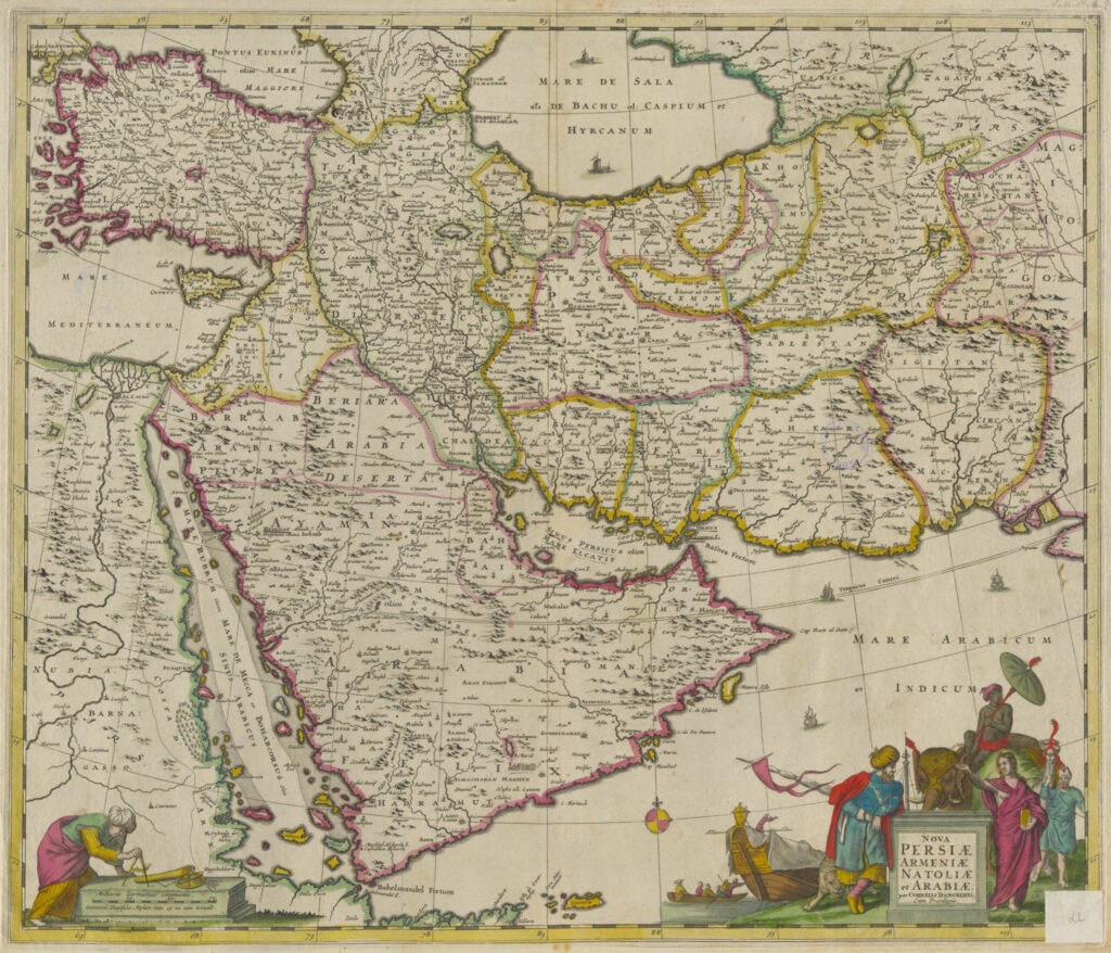
Arabia
Armenia
Azerbaijan
Asia
Ethiopia
Balochistan
Friedrich Handtke. 1879. map of Afghanistan, Turkestan and Baluchistan, together with a map of the Indo-Afghan border region / F. Handtke. Map. Glogau: Verlag von Carl Flemming. doi:10.25673/43112, http://nbn-resolving.de/urn:nbn:de:gbv:3:3-1192015415-322525802-13 (accessed: 13 April 2022).
Eritrea
O A. 1900. Eritrea, Abyssinia and the eastern Sudan / edited from Italian, German, English and French sources by A. Herrich. Map. Printed and published by Carl Flemming. doi:Kaukasien, https://opendata.uni-halle.de//handle/1981185920/62535 (accessed: 2 February 2022).
Georgia
India
O A. 1654. L' Inde deçà et delà le Gange, ou est l'Empire du Grand Mogol Et Pays Circonvoisins : Tirée de Purchas, et de diverses Relations les plus nouvelles / Par le S. Sanson d'Abbeville, Geographe Ordinaire du Roy ; Somer sculp. Map. Chez Pierre Mariette. doi:10.25673/39949, https://opendata.uni-halle.de//handle/1981185920/41904 (accessed: 13 December 2021).
Indian Ocean
(:Unkn) Unknown. 1650. Erythraei sive Rubri Maris PeriplusErythraei Sive Rvbri Maris Periplvs : Olim Ab Arriano Descriptvs / Nvnc Vero Abrah. Ortelio Ex Eodem Delineatvs: 1 map; 38 x 45 cm, copper engraving. http://doi.org/10.25673/39367, https://opendata.uni-halle.de//handle/1981185920/41323 (accessed: 13 December 2021).
Iraq
Iran
Yemen
Jordan
Caucasia
Crimean Tatars
Kurdistan
Lebanon
Libya
Maghreb
Morocco
Middle East
North Africa
Oman
O A. 1846. attempt of a representation of the coastal region of Oman & Mahra / namely after Wellsted, further after Whitelock, Cruttendon, Niebuhr, Haines, Aucher Eloy, to C. Ritter Geography, by Carl Zimmermann. Map. [Reimer]. doi:10.25673/39302, https://opendata.uni-halle.de//handle/1981185920/41256 (accessed: 13 December 2021).
Ottoman Empire
Palestine
Syria
Tunisia
Turkey
Turkestan
Friedrich Handtke. 1879. map of Afghanistan, Turkestan and Baluchistan, together with a map of the Indo-Afghan border region / F. Handtke. Map. Glogau: Verlag von Carl Flemming. doi:10.25673/43112, http://nbn-resolving.de/urn:nbn:de:gbv:3:3-1192015415-322525802-13 (accessed: 13 April 2022).
Central Asia
Abraham Maas. 1735. Nova Maris Caspii Et Regionis Usbeck Cum Provincijs adjacentibus vera Delineatio : In qua itinera Regia et alia notabiliora accurate denotantur / Per A. Maas ; Reductio mappæ hujus a majore in hanc minorem formam facta est per Iohannem Petrum van Ghelen. Map. [Nuremberg]: Curantib[us] Homan[n]ianis Heredib. doi:10.25673/60548, http://nbn-resolving.de/urn:nbn:de:gbv:3:3-1192015415-172895424X-11 (accessed: 13 April 2022).